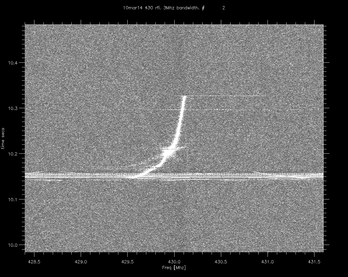
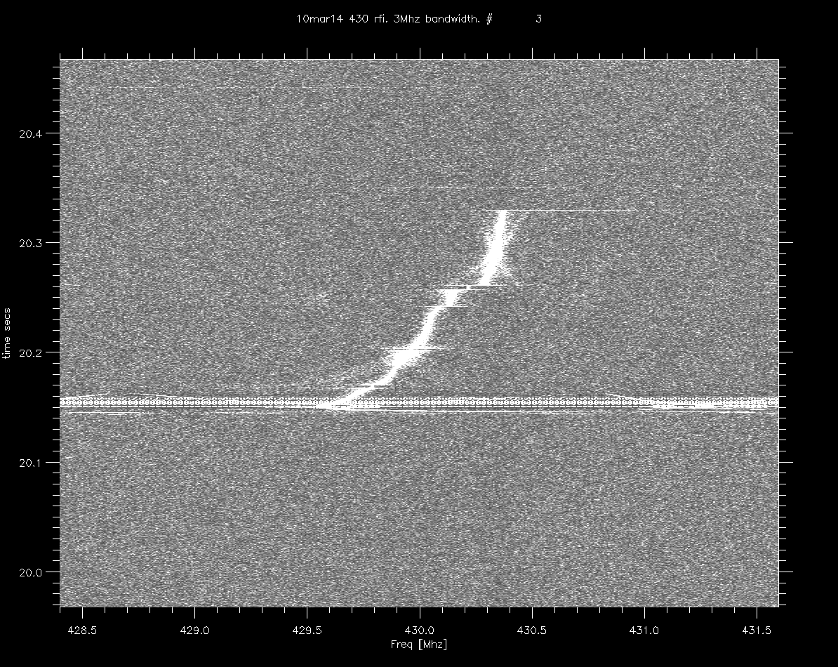
| date |
3 images spaced by 10 secs |
Notes |
| 10mar14 |
img1
(.gif) img2 (.gif) img3 (.gif) |
|
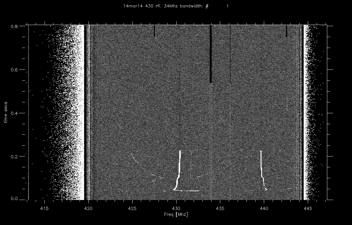
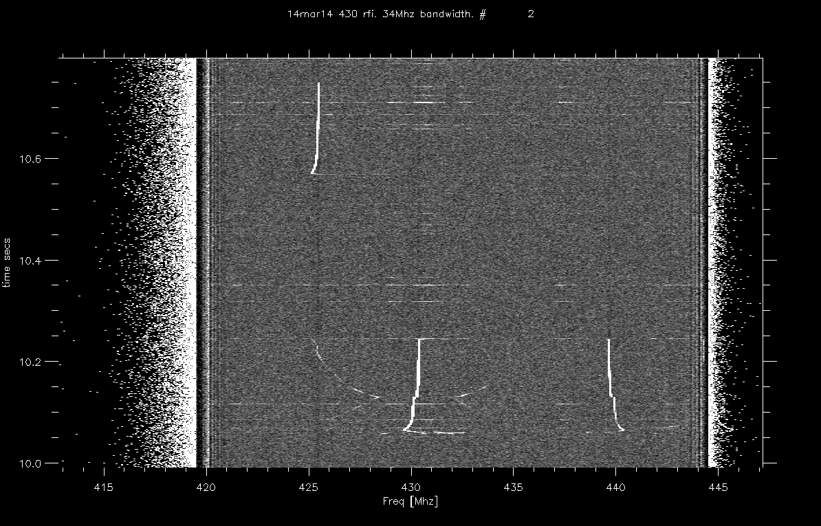
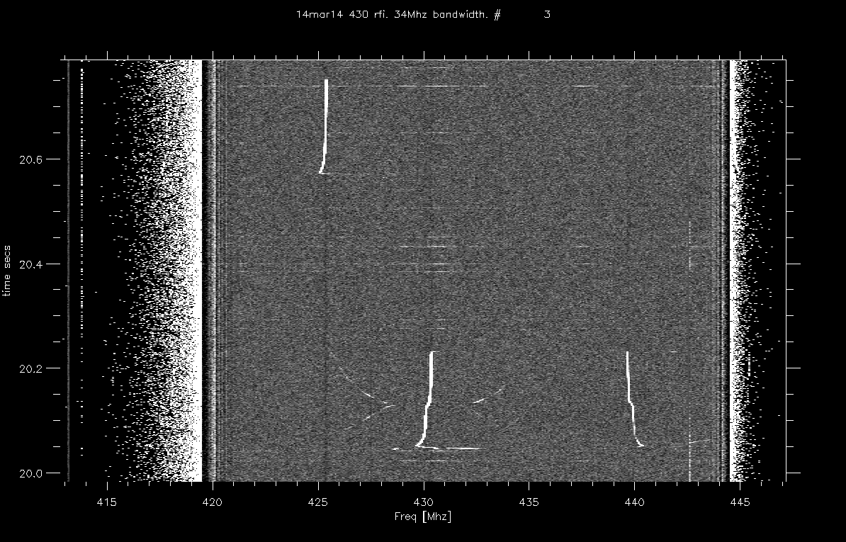
| 14mar14 |
img1
(.gif) img2 (.gif) img3 (.gif) |
|
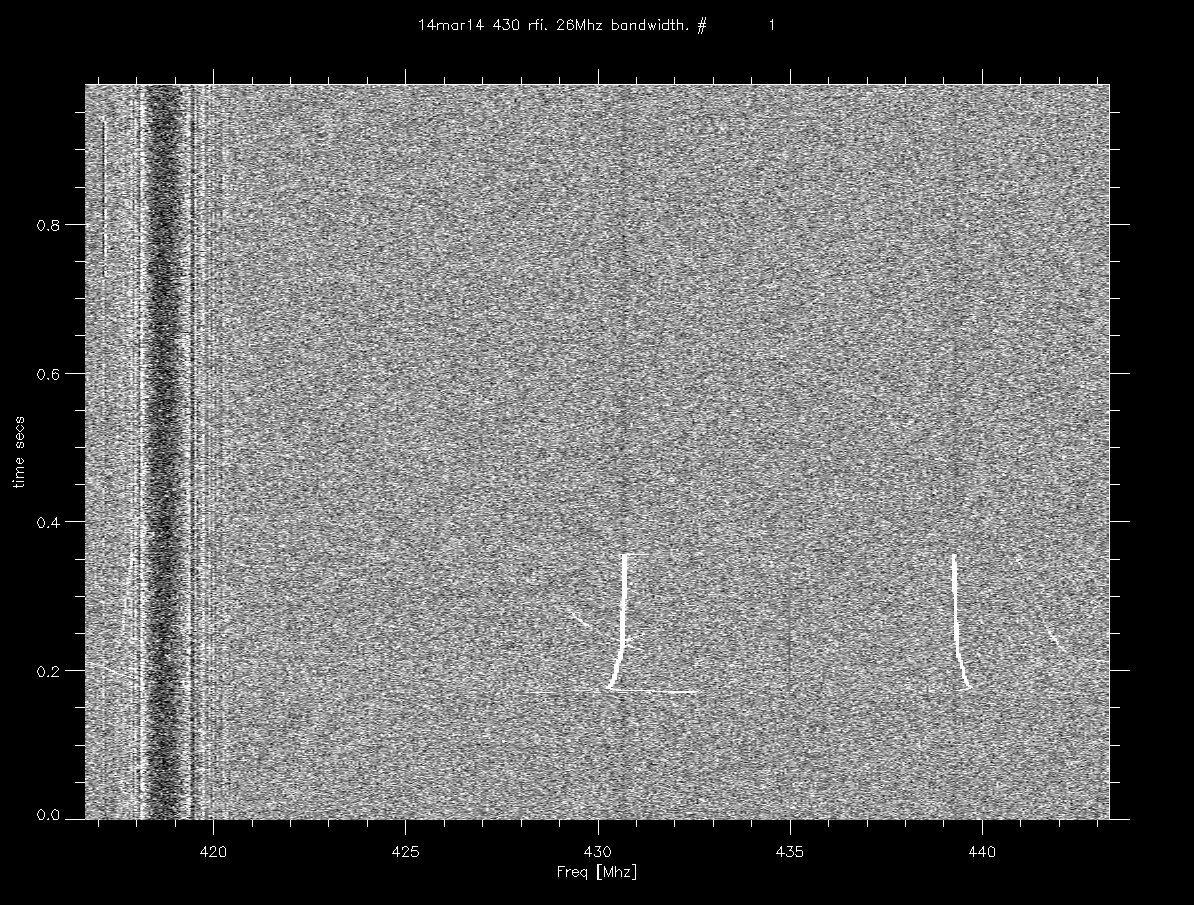
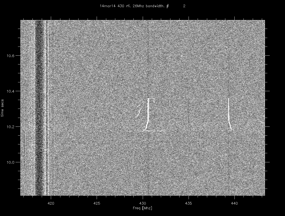
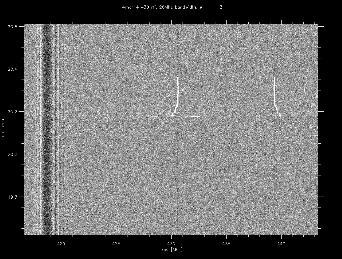
| 14mar14 |
img1 (.gif) img2 (.gif) img3 (.gif) |
|
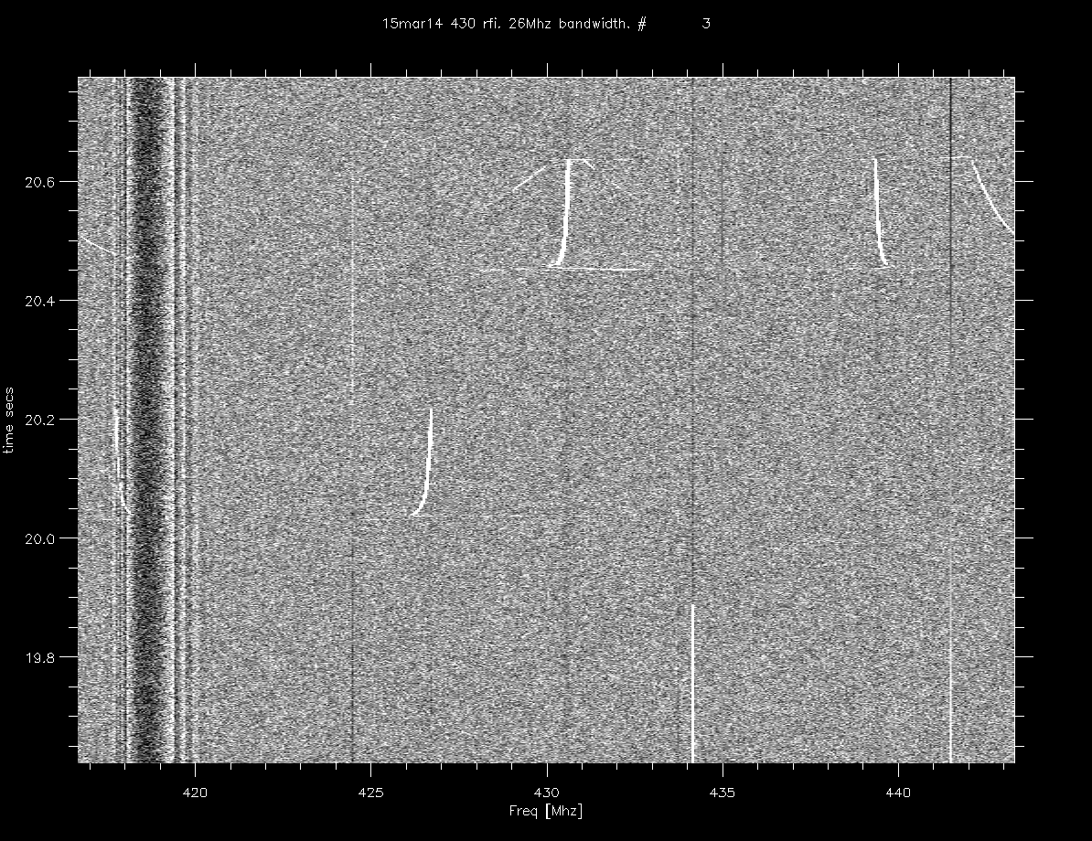
| 15mar14 |
img1
(.gif) img2 (.gif) img3 (.gif) |
|
| locations |
az (Magnetic) |
pkHold dbm |
|
| route
10 overlook 18.37937,66.68618 src.. tua's tower: 18.290332,66.65682 |
130 |
-96 |
|
| 160 |
-83.4 |
||
| 190 |
-83.4 |
||
| 220 |
-83.4 |
||
| 250 |
-96 |
||
| most
way up mountain to fm station towers (looking south). parking lot of colmado. foundation of house hanging out over the mountain 18.2857,66.6894 src: tua's tower: 18.290332,66.65682 |
160 |
-97 |
|
| 195 |
-90 |
||
| 230 |
-88.5 |
||
| 270 |
-83 |
||
| 300 |
-81.5 |
hills
blocking |
|
| 330 |
-82 |
||
| 0 |
-88 |
||
| at
bar parking lot west of fm towers 18.2874,66.66187 src: tua's tower 18.290332,66.65682 |
0 |
-60 |
|
| 40 |
-70 |
||
| 70 |
-51 |
104.1 tower 18.2895,66.6604 |
|
| 80 |
-48 |
102.9 tower 18.2886,66.6606 |
|
| 100 |
-51 |
||
| 110 |
-48 |
short tower belonging
to tua. 18.290332,66.65682 |
|
| 130 |
-52 |
||
| 160 |
-57.5 |
||
| 190 |
-73 |
||
| 220 |
-60.5 |
||
| 250 |
-61.5 |
||
| 280 |
-62 |
||
| 310 |
-65 |
||
| 330 |
-66 |
||
| drove
to east of towers 18.28702,66.65926 src: tua's tower 18.290332,66.65682 |
pnt at towers |
-53 |
|
| pnt 180 deg from towers |
-83 |